

Australian offshore wind project Star of the South is using new technology to collect important data on migrating bird flight paths to inform the project’s environmental assessments and design.
Specialist equipment with a high-resolution camera will capture data on the types of birds and their behaviours in and around the proposed site off the south coast of Gippsland, Victoria.
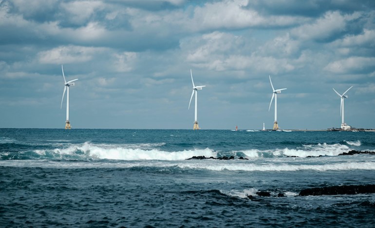
When fully operational Star of the South will have a capacity of up to 2.2GW.
This is the first time in the world this custom-built measuring technology is being used for monthly baseline surveys.
In addition, Star of the South has taken an important next step in its environmental assessment process with draft scopes released for public review and comment.
Star of the South is being assessed through a coordinated environmental impact statement (EIS) and environment effects statement (EES) to assess potentially significant environmental, social, economic and planning aspects of a project.
Draft scopes for the project’s EIS/EES are available for public review and comment until midnight 27 July 2021.
These documents set out what Star of the South is required to study, assess and report on in its EIS/EES.
The Australian Government’s Department of Agriculture, Water and Environment has prepared draft ‘Assessment Guidelines’ for the EIS.
Star of the South would harness Bass Strait’s strong offshore wind with turbines in the sea and underground cables connecting to the Latrobe Valley, powering Victorian homes.